Why this editor exists
For many hobby planners, Microsoft Publisher was the tool of choice: simple enough for quick network maps, without the overhead of InDesign or Affinity. It was discontinued at the end of October 2026.
There was no fitting replacement, so this editor was built to do exactly that job, by someone who plans transit networks as a hobby.
How a map comes together
- 1Describe the networkCreate stops, give lines a colour and category, assign the stops each line serves.
- 2Place the stopsSet them on the grid. The editor connects them with 0°, 45° and 90° segments and rounds the bends.
- 3ExportOutput as SVG, PNG or PDF. The project itself is saved as a JSON file on your computer.
Maps made with the editor
Click a map to open it full size as SVG.
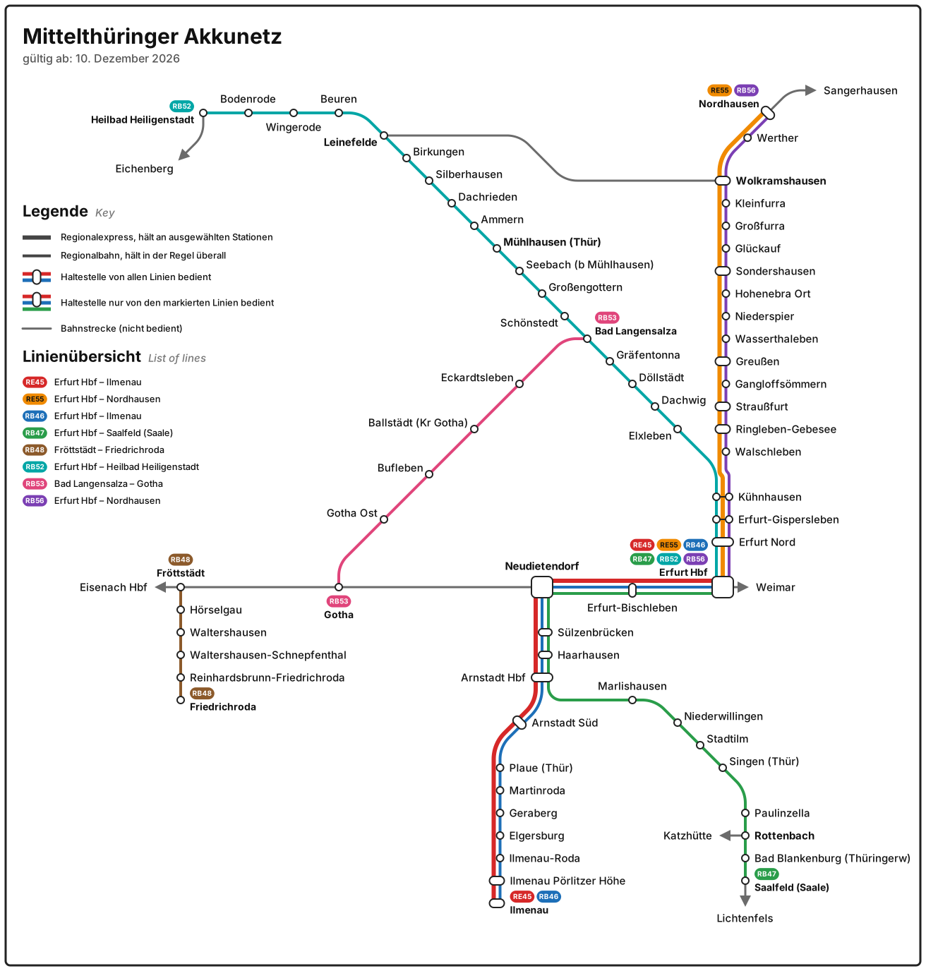
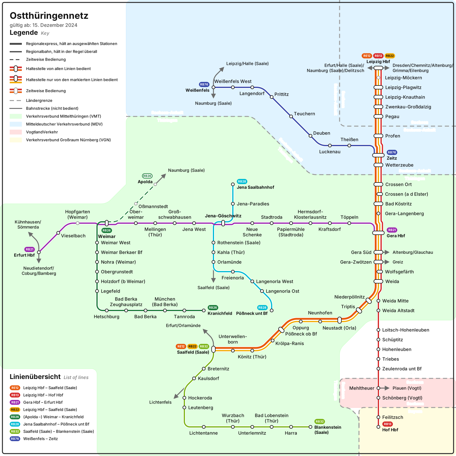
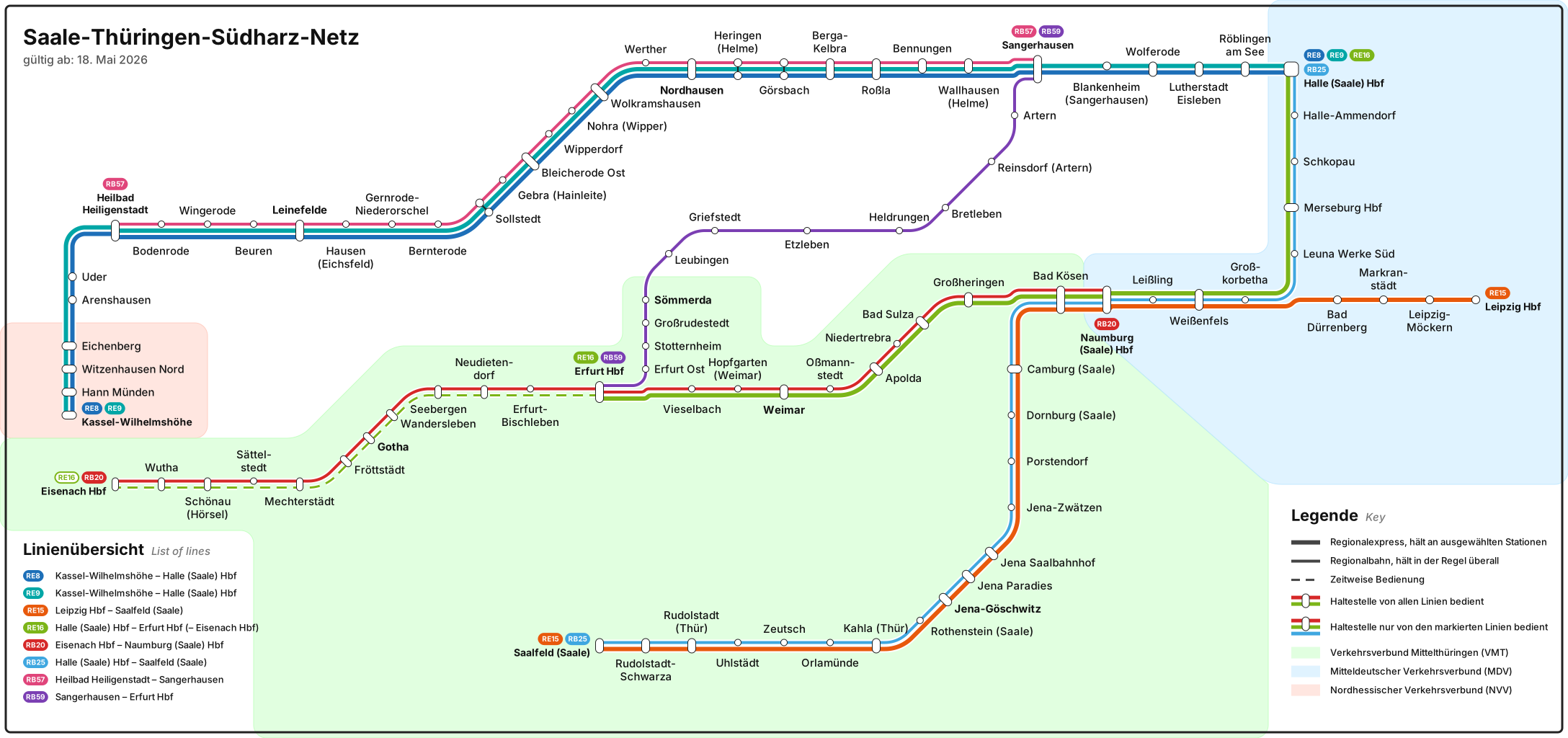
What it can do
- Lines with trunk, branches and loops
- Parallel lines are bundled, lane order is adjustable
- Split stops and waypoints
- Direction-only stops, temporary service and pass-through stops
- Key and line overview are generated automatically
- Rivers, borders and areas as drawing objects, with labels
- Text styles and designs you can save and reuse
- Automatic label placement with overlap check
- CSV import and background image as tracing template
- Undo and redo, selection mode, export and import parts of a network
Free and local
The editor runs entirely in your browser. There is no sign-up and no server that sees your maps. Projects are saved as files on your computer.
The source code is on GitHub under the MIT licence. Report bugs and ideas there as an issue. Source code on GitHub
Terminus: get started
RE 1RE 2S 1
The sample network in the editor shows in a minute how everything fits together.